Alphen aan de Rijn.
WBN, KVA Dordrecht, Alphen aan de Rijn, Vordere Wasserstellung, Weteringpad.
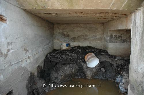
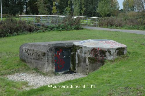
Next to the railway crossing on the Laan der Continenten along the path called "Weteringpad", near the railway station, you find a Tobruk as part of the "Vordere Wasserstellung"
The "Erste or Vordere Wasserstellung" was a German line about 30-50 km's land inwards behind the dunes to slow down advancing enemy troops. In case of a landing on the Dutch coast and a break trough, they could fall back on this prepared stopping line from Amsterdam-Alphen a/d Rijn-Gouda-Dordrecht-Moerdijk-Roosendaal. The Germans used the technique of inundation, by setting parts of the land underwater about 60cm deep. They also made light defence objects like small gun emplacements, barbed wire lines and mine fields to close the gaps in between.
Types:
1x Tobruk58c.